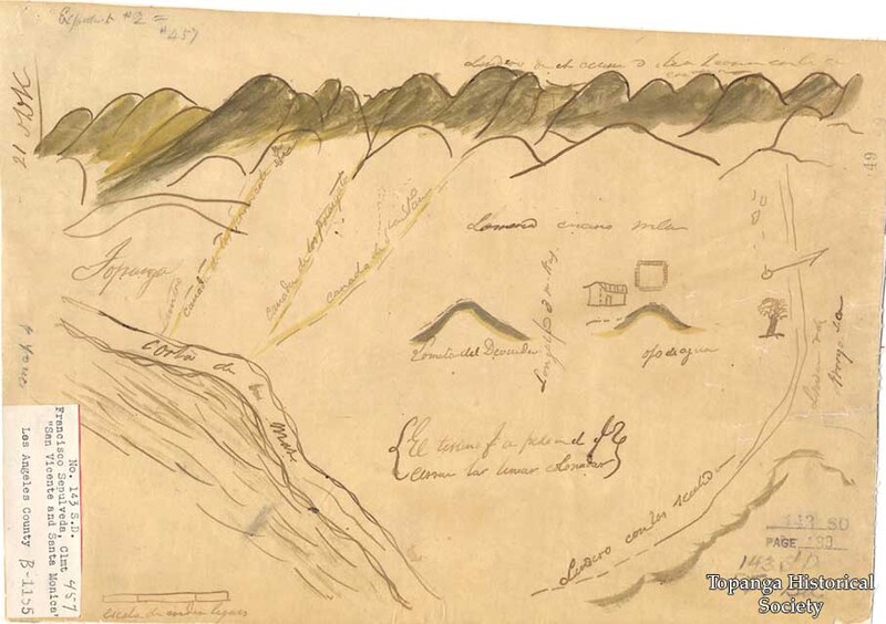
Rancho San Vicente y Santa Monica map, 1840s
Title
Rancho San Vicente y Santa Monica map, 1840s
Description
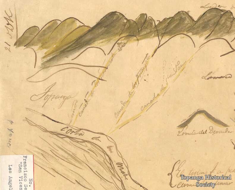
This Rancho San Vicente y Santa Monica map from the 1840s (specifically a diseño: a rough map required to accompany Spanish and Mexican land grant petitions), shows perhaps the earliest depiction of Topanga Canyon.
Date
1840s
Source
Digital only
Rights
Materials in this collection may be protected by the U.S. Copyright Law (Title 17, U.S.C.). In addition, the reproduction of some materials may be restricted by terms of Topanga Historical Society gift or purchase agreements, donor restrictions, privacy and publicity rights, licensing and trademarks. Transmission or reproduction of materials protected by copyright beyond that allowed by fair use requires the written permission of the copyright owners. Works not in the public domain cannot be commercially exploited without permission of the copyright owner. Responsibility for any use rests exclusively with the user.
←Next Item
Previous Item→
Previous Item→
Collection
Citation
“Rancho San Vicente y Santa Monica map, 1840s,” Topanga Historical Society Digital Archive, accessed April 24, 2024, https://www.topangahistoricalsociety.org/archive/document/1436.

