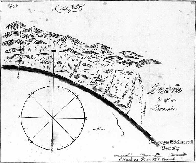
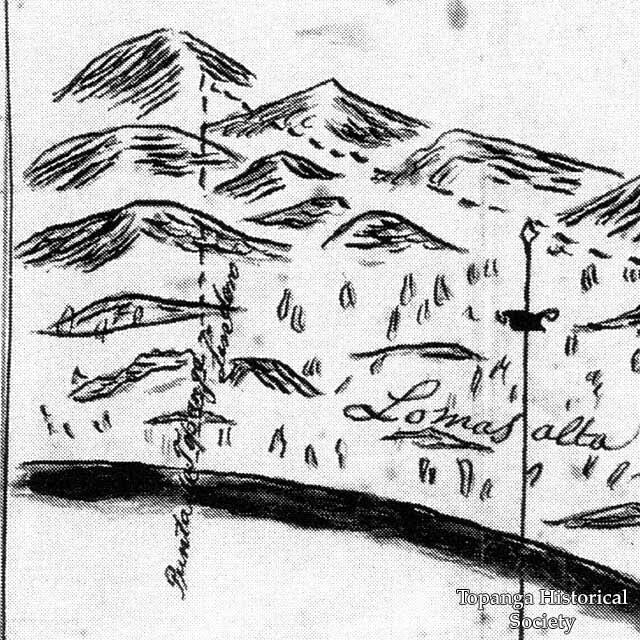
Rancho Boca de Santa Monica map, 1851
Title
Rancho Boca de Santa Monica map, 1851
Description
Rancho Boca de Santa Monica map, 1851, specifically a diseño (a rough map required to accompany Spanish and Mexican land grant petitions), shows: Punta de Topanga [Topanga Point], Lomas Alta [high hills of the Pacific Palisades], Santa Hermonica [Santa Monica Canyon], Arroyo de Buenavista [Buenavista creek], Cañada de la Iglesia [church glen], and the lindero [boundary] of the Rancho.
Date
1851
Source
Digital only
Rights
Materials in this collection may be protected by the U.S. Copyright Law (Title 17, U.S.C.). In addition, the reproduction of some materials may be restricted by terms of Topanga Historical Society gift or purchase agreements, donor restrictions, privacy and publicity rights, licensing and trademarks. Transmission or reproduction of materials protected by copyright beyond that allowed by fair use requires the written permission of the copyright owners. Works not in the public domain cannot be commercially exploited without permission of the copyright owner. Responsibility for any use rests exclusively with the user.
Contributor
Ernest Marquez
Publisher
"Pacific Palisades: Where the Mountains Meet the Sea" by Betty Lou Young (1983)
←Next Item
Previous Item→
Previous Item→
Collection
Citation
“Rancho Boca de Santa Monica map, 1851,” Topanga Historical Society Digital Archive, accessed April 25, 2024, https://www.topangahistoricalsociety.org/archive/document/1311.

